
Bellevue ZIP Code Directory Coverage at a Glance
Nebraska's Blue Book names three standard Bellevue postal ZIPs: 68005, 68123, and 68147. They are the starting set for a Bellevue ZIP code directory search, but the authoritative list does not turn them into municipal lines. USPS routes and labels mail, while Sarpy County maps parcels, city boundaries, tax districts, school districts, SIDs, and other separate layers. Check the precise address when a record sits near a city or postal edge.
| ZIP | Areas Covered | Post Office | Notes |
|---|---|---|---|
| 68005 | Standard Bellevue postal city, including central and older Bellevue and the Olde Towne area | Bellevue Post Office, 2609 Victoria Ave | Core Bellevue ZIP; alternate Olde Towne location is at 103 E Mission Ave. |
| 68123 | Standard Bellevue designation, including southern and eastern Bellevue portions | Bellevue USPS service grouping; verify the address-specific station | Postal and city/place boundaries are not identical. |
| 68147 | Standard Bellevue designation, including western and southern Bellevue portions | Bellevue USPS service grouping | Use parcel and full-address lookup for edge streets. |
The postal boundary context also reaches beyond the standard three. Nearby or overlapping geography can involve Offutt AFB 68113, Papillion 68133, or Omaha 68157. USPS destination material also groups 68056 in Bellevue labeling, but no official street-level Bellevue coverage was located for it. Treat 68056 only as an address-verification result, not as a Bellevue area claim.
68005 and the Bellevue Post Office
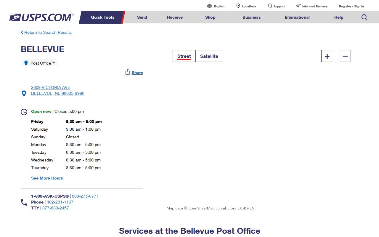
USPS identifies 68005 with the Bellevue Post Office at 2609 Victoria Avenue, Bellevue, Nebraska 68005, phone 402-291-1167. The researched location listing gives weekday hours of 8:30 a.m. to 5 p.m. and Saturday hours of 9 a.m. to 1 p.m.; use the live USPS page for changes. It also identifies a nearby Olde Towne location at 103 E Mission Avenue. This is useful context for a postal question, but the station address does not prove that every 68005 parcel lies within the same municipal or service boundary.
The USPS Bellevue location page is the source for the post-office and nearby-station details.
Use the USPS address tool for a complete street address rather than relying on a neighborhood name or a broad map label. A full address resolves a delivery designation more reliably than a ZIP boundary drawn for general reference.
Bellevue ZIP Code Edges: 68123, 68147, and Nearby Labels
68123 and 68147 are Bellevue's other standard postal designations, yet their edges should be checked address by address. The research notes that annexation can put city services or a municipal limit on one layer while the postal city remains Bellevue, or leave a border parcel with a Bellevue mailing name and another municipality or tax district. Sarpy GIS has municipal-boundary, ZIP, SID, school, fire, parcel, and address-point layers for this comparison.
68133 is a Papillion postal city even where a ZIP-boundary source indicates overlap with the Bellevue place boundary. 68157 is an Omaha postal city with a potential Bellevue-area edge mismatch. Neither fact permits treating every address using either postal label as Bellevue. The CAMA record's municipality and tax district, the GIS municipal layer, and a USPS full-address result should agree before a city-specific conclusion is drawn.
Offutt 68113 Is a Separate Postal Context
Offutt Air Force Base has its own postal city and ZIP, 68113, with a station at 906 Garland Street. USPS lists it as a nearby service point, and local ZIP material places it alongside Bellevue postal geography. It is not a generic Bellevue neighborhood label. A military installation address can follow installation mail conventions, so do not force it into a Bellevue street and ZIP description when the address itself identifies Offutt AFB.
This distinction matters when comparing old directories, parcel data, or a current mailing address. The Bellevue/Sarpy directory collection can cover Offutt and other regional places, while a postal label and a GIS boundary answer different questions. Keep the source and date with each address in a family or property timeline.
Finding Bellevue Records Within One ZIP Code
A ZIP code narrows geography, but the Bellevue portals do not all accept it as a search field. Begin with the complete address, not a broad ZIP-only query. Sarpy's CAMA property form searches owner name, parcel, address, or legal description; its basic form did not show a ZIP filter. VoterView also does not offer a ZIP filter for its public registrant form. Those limits are useful: they show why a mapped address and a lawful record path are more dependable than trying to build a ZIP-wide resident list.
- Use USPS to verify the complete street address and postal designation.
- Search Sarpy CAMA by property address, parcel, owner name, or legal description, then read the postal address and municipality in the resulting record.
- Open Sarpy GIS and compare its ZIP layer with the parcel, address point, municipal boundary, tax district, SID, school, or fire layer needed for the question.
- Use a real ZIP-field portal only for the record type it publishes, such as DHHS License Information System for listed licensees.
- For a street-level address chain after the ZIP is settled, continue with the Bellevue street directory workflow.
This method avoids an easy mistake: a CAMA mailing address is where correspondence is sent, while a situs or property address is the parcel's mapped location. Matching values can be consistent with owner occupancy, but they are not proof of household membership.
Bellevue ZIP Code Fields That a Public Portal Actually Offers
Nebraska DHHS License Information System is a documented ZIP-field example. Its license search exposes City, County, and Zip Code fields for individual licensees, together with the site's individual, business/service, and facility/service search modes. Entering 68005, 68123, or 68147 can narrow the published licensing results, then the displayed address, status, and discipline information should be read in the context the system provides. It is a licensing source, not a directory of all Bellevue residents.
| Portal | Nebraska DHHS License Information System |
|---|---|
| ZIP field | Zip Code is a published search field for individual licensees. |
| Related geographic fields | City and County help distinguish Bellevue from a nearby postal or county label. |
| Result use | Read the posted license address, status, and discipline information only as the system presents it. |
| Limit | It does not establish a complete resident or parcel list for a ZIP. |
The DHHS License Information System illustrates the ZIP search controls available in this specific public system.
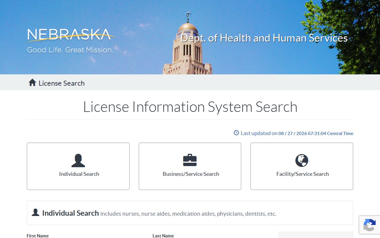
The visible City, County, and ZIP controls are why a full address still matters. A similar postal label can reach different mapped jurisdictions and does not substitute for the underlying record's address.
Where CAMA and VoterView Stop at a Bellevue ZIP
Sarpy CAMA is valuable after an address is known, but its inspected basic form offers owner-name, parcel, address, and legal-description modes rather than a ZIP query. Its property result can show owner names, mailing and situs addresses, parcel ID, values, exemption or classification information, municipality, tax district, legal description, recent deeds, and a map link. Read those fields as parcel evidence, not a claim about everyone at the property.
VoterView is also deliberately narrower than a ZIP code directory. The public registrant lookup requires first name, last name, and county, with Sarpy selected for Bellevue. Its polling-place tool uses a residential address. A match is designed to confirm one registration and related election information, not to browse a street or ZIP. Protected and private entries are withheld, and an absence can reflect a spelling, county, status, or privacy issue.
Nebraska's controlled statewide voter-file process is not a public ZIP-browse service. The file may include residential and mailing address fields and can be filtered by ZIP only after lawful receipt. State rules require an affidavit and a $500 request fee, limit use to the purposes in statute, bar posting or commercial use, and require confidential or private entries to be withheld.
Entity Records Do Not Redraw Bellevue ZIP Boundaries
Nebraska's Secretary of State provides a free corporate and business search for entities and trade names, with paid copies and certificates. It can help corroborate a named entity or an old business reference from a directory, but the researched service is not documented as a Bellevue ZIP-field map or a household source. Keep an entity record separate from postal delivery and parcel geography.
The Secretary of State corporate and business service page describes the available entity-search route.
Use an entity search to verify the record type it holds, then return to USPS and Sarpy GIS for an address's postal and mapped geography. Combining unrelated sources without that check can create a false ZIP conclusion.
Bellevue ZIP Code Boundaries, City Limits, and Tax Districts
The key Bellevue geography distinction is fourfold: USPS assigns a postal ZIP and postal city for delivery; city limits identify municipal jurisdiction; CAMA reports parcel-oriented municipality and tax-district information; and Sarpy GIS presents mapped boundaries including ZIP, municipal, SID, school, fire, and parcel layers. These lines often overlap, but they do not mean the same thing. A Census ZCTA is another separate generalization for mapping and demographic analysis, not a mail route.
For a disputed edge address, save the full USPS result, identify the parcel in GIS, read CAMA's situs and mailing values separately, and turn on the municipal and ZIP layers. This is especially important for postal labels near Papillion, Omaha, Offutt, or a Bellevue annexation edge. The legal description, either lot/block/subdivision or PLSS coordinates, is often the durable bridge when an address changes.
- ZIP code and ZIP+4
- A ZIP code identifies a postal delivery area. ZIP+4 adds a more precise delivery segment, so use USPS to confirm it from the full address.
- PO-box ZIP
- A ZIP used for post-office boxes. It does not establish the physical location of a property or household.
- Unique ZIP
- A ZIP assigned to one organization or institution. Offutt's distinct installation postal context illustrates why such labels need their own address verification.
- Carrier route
- A postal delivery route used for mail handling. It is not a city-limit, tax-district, or public-resident boundary.