
Walk a Bellevue Street From Address to Earlier Records
For a Bellevue address, begin at the parcel rather than at a guessed household name. Sarpy County Property Search, usually called CAMA, turns an address into a parcel and legal description. Sarpy GIS then makes the street and nearby parcels visible. The Register of Deeds can connect the legal description or a party name to recorded instruments, while VoterView can confirm one known registrant under its controlled rules. Historical reverse pages, where available, provide the older address-to-occupant layer.
- Enter the full Bellevue address in CAMA using the Property address mode, then capture the parcel number, legal description, current owner field, and tax year.
- Open the parcel in Sarpy GIS, identify the site address and parcel boundary, and compare the street with address points and road centerlines.
- Use CAMA's recent deed reference and the legal description to search the Sarpy County Clerk/Register of Deeds index by address, subdivision, lot and block, or grantor and grantee.
- Where a person is already known, use VoterView's first name, last name, and Sarpy County fields for an individual registration confirmation. It is not a street-browse tool.
- For an earlier household clue, inspect the Bellevue/Sarpy directory's reverse or street section if the volume has one, then verify against the alphabetical page and adjacent years.
Each step has a different date and scope. A parcel record concerns assessment ownership, a deed concerns a recorded transaction, a voter result concerns a single registration, and a directory is an annual listing. Keeping those distinctions prevents an address search from becoming an unsupported claim about who is present now.
Bellevue Street Directory Sources and Their Address Keys
Bellevue's useful street records are split between county, city, and statewide custodians. The current ownership and tax path runs through Sarpy County, largely in Papillion, rather than Bellevue City Hall. Bellevue was Sarpy's county seat until January 1, 1876, but Papillion is the county records seat now. City staff can help with permits, code matters, and municipal records; the county and state systems hold the parcel, deed, tax, and voter paths.
| Address Record | Custodian | What It Can Show | Access Route |
|---|---|---|---|
| Property assessment | Sarpy Assessor | Current owner, mailing and property address, parcel, legal description, values, class, tax district, recent deed references | CAMA search or assessor office, 402-593-2122 |
| Tax parcel map | Sarpy GIS coalition | Parcel boundary, site address, owner and postal fields, map layers, detail report, nearby-parcel workflow | Public Land Records Search viewer |
| Recorded instruments | Sarpy Clerk/Register of Deeds | Parties, instrument number and date, legal description, plats, recorded images when available | Historical web index, Tyler public access, or office terminal |
| Tax receipt and status | Sarpy Treasurer | Tax year, paid receipt, district, due or delinquency context | Nine-digit parcel or address through county tax tools |
| Building and city records | Bellevue Permits, Code Enforcement, City Clerk | Work, application, ownership, premises, notices, or council context where releasable | GovWell, city counter, or a focused records request |
| Historical address listing | Omaha Public Library | Older listed occupant, phone, business, spouse notation, and symbols where a reverse section exists | In-room Bellevue/Sarpy print volumes |
The parcel number and legal description are the strongest links among these sources. A street label joins the map and city files, but older deeds may omit a modern house number. A records request should name the address, parcel if known, record type, date range, and desired inspection or copy format. Nebraska's public-records law requires a response as soon as practicable and within four business days, subject to its exemptions and production limits.
CAMA Fields for a Bellevue Street Directory Search
Sarpy CAMA is the address-first portal for a Bellevue street search. Its inspected form permits owner-name, parcel, address, and legal-description searching. The official help distinguishes Mailing and Property address options, a choice that matters before interpreting any result. The tax-year selector lets a researcher compare the displayed assessment record across the years shown on the form, rather than treating a current parcel card as undated evidence.
| Name (Last Name First) | Optional owner-name field; enter a name in last-name-first form. |
|---|---|
| Parcel | Optional parcel-ID field. The nine-digit parcel is the best key for tax receipt retrieval. |
| Address | Optional address field with Mailing or Property mode. Property is the situs choice; Mailing is the correspondence choice. |
| Legal | Optional legal-description search for a lot, block, subdivision, or land description. |
| Records Per Page | Optional display control with 10, 50, or 200 results. |
| Tax Year | Optional selector; the inspected form showed 2020 through 2026. |
| Result controls | Search and Reset controls, parcel-number detail links, and a VIEW MAP link. |
The assessor's property file can include a current owner and mailing address, drawings or photos, a legal description, recent deed recordings, and tax-district codes. Its class and exemption values describe assessment treatment. They do not establish a current household roster at the situs.
Keep Mailing and Situs Addresses Separate in Bellevue
Property or situs address means the physical building or parcel location used on the map. Mailing address is the destination for tax correspondence. CAMA treats those as separate address modes, and the GIS parcel tip likewise exposes site and postal information. They can agree, but that match is only a fact to reconcile with the rest of the record.
A different mailing field may belong to an owner with another parcel, a company, a government entity, an estate, or a correspondence address outside Bellevue. The CAMA sample governmental parcel even had a blank property address, which is not automatically an error. Label each field as printed, avoid combining the two values, and follow the legal description when the address evidence becomes ambiguous.
Map a Bellevue Street in Sarpy GIS
Sarpy GIS is a county-led coalition that includes Bellevue and surrounding municipalities. Its Land Records Search begins with a global address search and lets a researcher identify a parcel on the map. Address Points and Road Centerlines place the street in context. Tax Parcels, Owner Parcels, conveyance layers, lot dimensions, and PLSS layers help turn a familiar street number into a record key that older systems can use.
The Sarpy GIS tax-parcel layer information documents the parcel fields and actions available through the public map service.
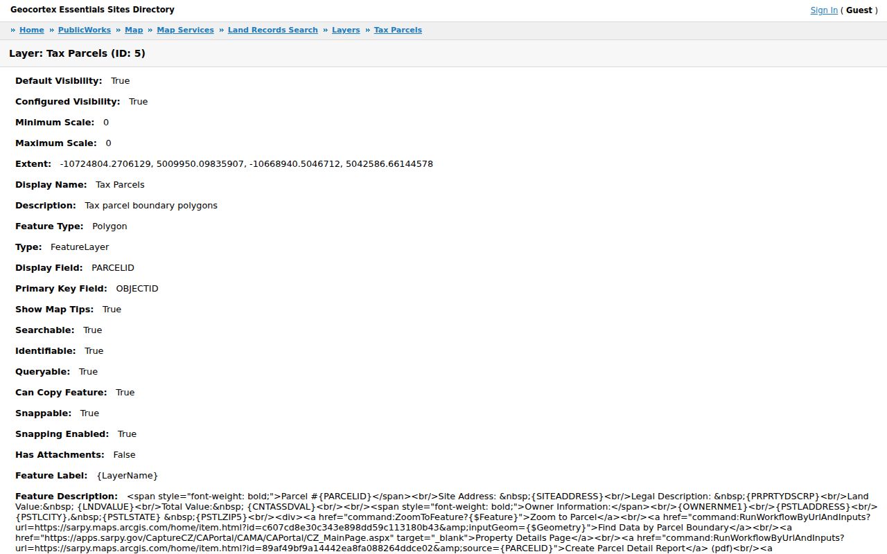
Use the parcel view to orient a Bellevue street search, then save the parcel ID and legal description before moving to the deed index. A map is helpful for location and adjacent parcels, but it is not a title survey and does not decide ownership by itself.
The Bellevue Street Parcel Tip and Boundary Tools
Clicking a tax parcel in the Sarpy viewer can expose a compact inventory: parcel number, site address, legal description, land and total value, owner information, postal address, and links or commands. The map service describes Tax Parcels as searchable, identifiable, queryable, and visible by default. This gives a street-by-street researcher a stable way to compare the listed location with its parcel geometry.
| Parcel identity | Parcel number, site address, and legal description form the bridge to CAMA and the Recorder's index. |
|---|---|
| Value fields | Land value and total value are assessment context, not an occupancy finding. |
| Owner information | Owner name, postal address, city, state, and ZIP appear as parcel data and must be labeled as such. |
| Detail tools | Zoom to Parcel, Find Data by Parcel Boundary, Property Details Page, and Create Parcel Detail Report are listed actions. |
| Nearby-parcel tool | Buffer Parcel supports a local-area workflow; the service metadata does not state a default radius. |
For a Bellevue street near a boundary, turn on the GIS ZIP, municipal-boundary, SID, school-district, and fire-boundary layers. They answer different geography questions and should not be collapsed into a single street label.
Use Legal Description to Carry a Bellevue Street Backward
House numbers and street names can change, especially after annexation. Bellevue legal descriptions may use lot, block, and subdivision in platted neighborhoods or PLSS section, township, range, and quarter in larger parcels. Sarpy's Register of Deeds searches both subdivision lot/block and Lands Section, Township, Range, and quarter. Sarpy Plat Maps provides the same bridge from a written description to mapped lots and blocks.
- Parcel
- A tax and map unit identified by a parcel number. It connects a site to assessor, GIS, tax, and deed research.
- Situs address
- The property address marking the physical parcel location, distinct from the mailing address used for correspondence.
- Plat
- A recorded map that lays out a subdivision, lots, blocks, or a replat. It helps when a modern address is not in an older instrument.
- Criss-cross directory
- A historical reverse or street-order directory section, when included, that moves from an address to a listed occupant or business.
Do not invent a Bellevue-wide renumbering year: none was located in the research. For one street's continuity, use older plats, city-clerk records, council ordinances, and newspaper archives alongside the legal description.
The Bellevue-to-Papillion Deed Chain
After CAMA supplies a legal description or recent deed reference, the Sarpy County Clerk/Register of Deeds supplies the recorded-document path. The historical public page advertises grantee/grantor coverage from 1857 through 1990, as well as daily filings, instrument, subdivision, lands, and address modes. It separately displays indexed-through and imaged-through dates. A historical index hit is not a promise that every image is online.
For a backward chain, read the purchase instrument in context, note the recording date, instrument number, parties, and legal description, then search the prior party and date range. A seller is the prior owner only if the instrument and title context support that conclusion, since documents can involve partial interests, corrections, trusts, easements, or other transfers. If an address search fails, use the subdivision and lot/block or PLSS description.
The Sarpy Register of Deeds public-access page is the documented newer system for current records; the older historical index remains a separate route.
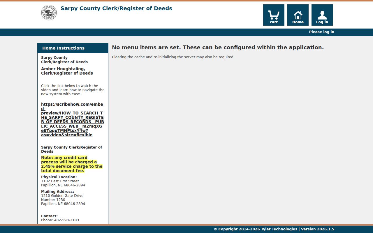
When a web image or name variant is missing, use the Register of Deeds public-access computers in Papillion or submit a precise copy request. The office keeps the official records, and the Tyler service notes a 2.49 percent credit-card processing surcharge for applicable online use.
Bellevue Permit and Code Records by Street Address
Bellevue requires permits for regulated construction, alteration, repair, improvement, removal, conversion, or demolition unless an exemption applies. The city's GovWell portal is the online route, although the official pages did not expose a verified public result-field inventory. The permit application, however, identifies the record's address detail: project address, lot, block, subdivision, owner and mailing information, contractor and license information, work description, value, construction information, approvals, signatures, and dates.
A permit can establish a construction or alteration timeline, but an applicant can be an owner or contractor rather than a resident. For files not available online, contact Bellevue Permits & Inspections at 1510 Wall Street, 402-293-3014, weekdays 8 a.m. to 4:30 p.m., or make a focused public-record request. Bellevue Code Enforcement has a concern form, but no public case-by-address index was located. Ask for a complaint or case by address, date range, parcel, and case number, with redactions expected where the law requires them.
Bellevue Street Boundaries: ZIP, Municipality, SID, and School
A street can carry several valid geographies at once. USPS supplies a postal city and ZIP for mail delivery. CAMA can show municipality and tax-district context for a parcel. Sarpy GIS separates ZIP, municipal boundary, SID, school district, fire boundary, parks, flood, zoning, and other layers. A postal label near Offutt, Papillion, or Omaha is therefore not enough to determine the municipal line, tax district, or school geography.
Verify a full address with USPS, then identify the parcel in GIS and compare CAMA's municipality, tax district, property address, and mailing address. This approach also avoids treating a Census ZCTA, a generalized statistical mapping area, as a postal route. The boundary layers are useful corroboration when a Bellevue street record seems to point to two different local labels.
Historical Bellevue Street Occupants in Directory Volumes
Omaha Public Library's Genealogy & Local History Room holds Bellevue/Sarpy County printed directories for 1963-1989, 1991-2007, and 2009-current. The missing listed years are 1990 and 2008. In a volume with a reverse or street section, find the street and house number, then use the alphabetical section to check name spelling, spouse notation, occupation, employer, phone, and the printed abbreviation key. A listed mark must be read from that volume's own key.
OPL's Nebraska property guide recommends moving backward or forward in five-year jumps and checking the front and back material, including any new-buildings pages. Directory coverage can be regional and may include Bellevue, Papillion, La Vista, Springfield, Offutt, Capehart, and other places. For the full collection and household-tracing method, consult the Bellevue city directory.
What a Bellevue Street Directory Cannot Establish
No single Bellevue street record identifies every person at an address. Public parcel data identifies assessment ownership and correspondence fields, not every current resident. The only located historical address-to-occupant layer is a reverse directory section where the volume includes one. Private utility customer information, USPS delivery-route detail, and DMV personal information are not ordinary public street-search layers. Sealed court, adoption, vital, protected-address, and confidential voter information are also outside a general address inquiry.
VoterView confirms a single registration using first name, last name, and county, or returns a polling place from a residential location. It has no public whole-street or ZIP browse. Nebraska's voter register is public under Neb. Rev. Stat. §32-330, but copies and lists are controlled, confidential or private entries are withheld, and the material may not be posted online or used for commercial purposes. A controlled statewide file may be handled only through the lawful request process, not compiled from repeated public lookups.
Lawful use. Address records are for lawful personal research and civic or family-history questions, not harassment or intimidation. Nebraska's stalking law, Neb. Rev. Stat. §28-311.03, addresses willful harassment intended to injure, terrify, threaten, or intimidate; preserve the limits that the source systems place on protected information.