
Bellevue Neighbors at the Parcel Level
A block-level question starts with geography. Sarpy GIS can show the lots beside a Bellevue address, while CAMA gives a separate property card for each identified parcel. Those records can name recorded owners and show postal fields, legal descriptions, values, and tax context. They are not a census of everyone on a block. Build the set of truly adjacent parcels first, then use each source only for the fact it actually supplies.
The table distinguishes the public record trail from sources that are individually searchable, request-only, historical, or private. It also keeps a whole-street search out of a task that is really about the immediate block.
| Source | What It Shows About a Block | Access |
|---|---|---|
| Sarpy GIS tax parcels | Adjacent polygon geometry, parcel ID, site address, legal description, owner and postal fields, values, and reports | Public viewer; identify and click each adjacent polygon |
| GIS Buffer Parcel | Nearby-parcel or area workflow around the selected parcel | Public map-tip command; exact radius was not located |
| Sarpy CAMA | Owner, mailing and situs fields, values, exemptions, tax year, parcel, and legal description for an identified parcel | Public name, address, parcel, or legal-description search |
| Register of Deeds | Recorded transfers, mortgages, liens, plats, and parcel history | Historical/current portals and courthouse public-access computers |
| VoterView | One person’s registration or address confirmation | First name, last name, and Sarpy County required; no block list |
| Bellevue permits | Construction or alteration history tied to an address | GovWell link, permit office, or city public-record request |
| Bellevue Neighborhood Watch | Voluntary safety coordination and a local contact channel | City program, not a public roster |
| Museum, library, and civic records | Selective historical community names in newspapers, yearbooks, churches, and organizations | Sarpy Museum, library, and archival research channels |
Recorded ownership and a postal address can be useful points of contact for a parcel, but they do not establish every person who may be present there. Bellevue neighbors are best understood as a bounded parcel set plus documented civic or historical context.
Map Bellevue Neighbor Parcels
Use the Sarpy GIS Land Records Search as the map layer, then open CAMA only after the target and surrounding parcels are identified. GIS is designed for the spatial question: which polygons share a boundary or front the same block? CAMA and the Register of Deeds are the follow-up records for a particular parcel. This order prevents a broad address search from being mistaken for a neighbor list.
- Enter the Bellevue street address in the GIS global address search, or find the street visually, then select the Tax Parcels layer and click the target polygon.
- Record its parcel ID, site address, legal description, owner and postal fields, municipality, ZIP, and linked reports.
- Keep the map centered and identify only polygons that share a boundary or face the same immediate block.
- Open each linked CAMA detail to compare its situs and mailing fields, parcel number, legal description, tax year, and any recent deed reference.
- Use the Register of Deeds after the parcel set is established, especially when a plat, transfer, mortgage, or lien is relevant to one of those lots.
The flow is address → target parcel → adjacent parcel set → CAMA detail → deed or plat history. For a full named-street record chain rather than immediate Bellevue neighbors, use the Bellevue street directory workflow.
Bellevue Neighbors and Buffer Parcel
The GIS tax-parcel map tip includes Zoom to Parcel, Find Data by Parcel Boundary, Create Parcel Detail Report, and Buffer Parcel. Buffer Parcel is a nearby-area workflow, not a published distance rule. The REST layer metadata did not expose a default radius or measure. Do not describe it as a precise legal buffer, and do not assume every lot selected by a nearby-area view is a direct neighbor.
For the narrowest block question, start with shared boundaries and same-block frontage. A parcel across a road, drainage corridor, public tract, or jurisdiction line can appear visually close without belonging in the same immediate set. The buffer command is a practical second view once the direct parcels have been documented.
Note: Save the parcel-detail report or a dated note for each selection, because a map view is spatial evidence and not a title survey.
Bellevue Neighbor Records Across Boundaries
Sarpy GIS provides more than parcel outlines. Toggle Address Points, Road Centerlines, ZIP, municipal boundaries, school districts, zoning, flood layers, SIDs, parks, and fire boundaries to explain physical separation. These layers are especially helpful where a Bellevue mailing address, postal ZIP, school district, and municipal boundary do not align. They clarify a block’s record geography without turning a ZIP or school layer into a resident list.
Road centerlines and public tracts can divide close parcels. A drainage feature, park, or different municipal boundary may do the same. The legal description and lot/block fields in CAMA help distinguish actual adjacent tax parcels from a condominium unit or common area. This is why a physical map check comes before names or record history.
Bellevue Neighbor Records in CAMA and Deeds
CAMA has owner-name, parcel, address, and legal-description search modes, with Mailing and Property choices for address searching. Its parcel result can show owner names, postal and situs addresses, parcel ID, legal description, value fields, exemptions, municipality, tax district, recent deed recordings, and a map link. A common mailing and situs address is only a clue that is consistent with owner presence, not proof of every person at the address.
For a parcel’s recorded history, the Register of Deeds offers daily-filings, instrument, grantor/grantee, subdivision, lands, and address modes. Read the legal description and document type. A recorded party can be a trust, estate, corporation, signer, or holder of a partial interest. For older instruments, the historical grantee/grantor index advertises 1857–1990 coverage, while current access has moved to the Tyler system and the courthouse remains the deeper fallback.
Bellevue Voter Records Do Not Map Blocks
Nebraska VoterView is an individual registration and polling-place tool. Its registrant search requires first name, last name, and county, so select Sarpy for a Bellevue search. A separate residential-location search identifies polling places. The form has no street-browse or ZIP-browse mode. Repeating personal searches is not a substitute for a public block list.
Nebraska law makes the voter register public subject to confidential and private withholding, but copied lists have controlled purposes and may not be posted, displayed, used for commercial purposes, or made accessible online. A lawful statewide voter-file request has an affidavit and $500 fee, with a one-year update procedure after approval. The county’s voter totals are Sarpy-wide figures, not Bellevue-block figures, and should not be used to estimate a block.
Note: A non-match in VoterView can reflect a spelling, county, status, or privacy issue and is not a conclusion about a block.
Bellevue Block Records: Permits and Code
City permit records can establish a construction, alteration, or approval chronology around a Bellevue block. The city links its permit process to GovWell, but official search-result fields were not available during research. The documented fallback is Bellevue Permits & Inspections at 1510 Wall Street, 402-293-3014, Monday through Friday from 8 a.m. to 4:30 p.m., or a city public-record request.
Ask for a particular address, date range, parcel, or case number. Permit applications can contain an address field, lot/block/subdivision, owner and postal fields, work description, valuation, contractor information, approvals, and dates, but the applicant is not necessarily a resident. No public code-enforcement case index was located. Request released complaint or case material by address and date, expecting exemptions or redactions where they apply.
Bellevue Neighbor Watch and Associations
Bellevue does not publish a comprehensive city-managed association directory in the located material. Its official Neighborhood Watch program is voluntary and citizen-organized. A group can be started or reestablished through the Community Relations/Crime Prevention Coordinator at 402-682-6623; the police non-emergency number is 402-593-4111. The program is a civic contact route, not evidence of membership or a roster.
The official Bellevue Neighborhood Watch page describes that local program and coordinator connection.
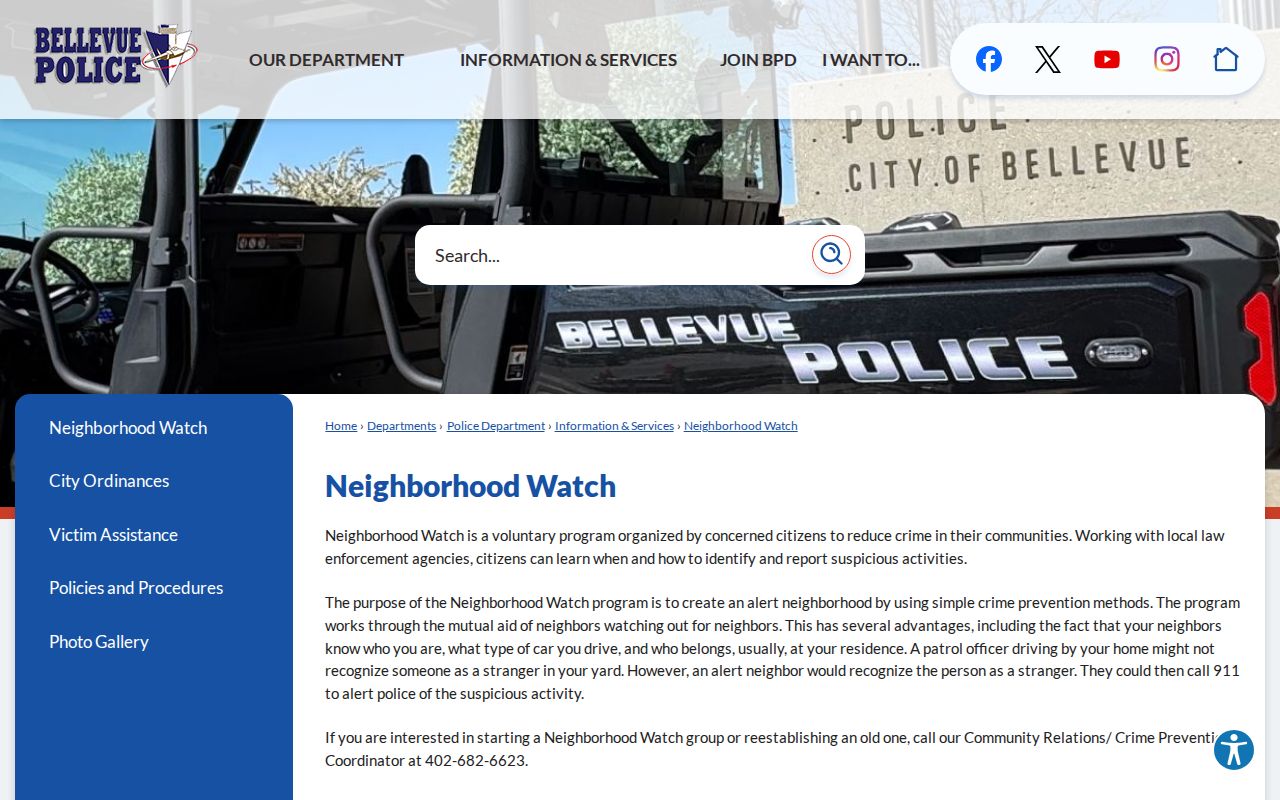
Use the city program to learn how a voluntary block effort works. It cannot identify who participates or who lives at a particular parcel.
Blackhawk Homeowners Association
Blackhawk’s association site identifies the Blackhawk neighborhood, states 150 homes, and lists 2026 dues of $120. It presents association-level information, not a public member directory.
Hidden Hills Homeowner’s Association
Hidden Hills reports 33 homes and publishes neighborhood updates, documents, and dues information. Its membership and join process run through the association, not Bellevue city government.
Historical community sources
Sarpy County Historical Museum holdings include churches, cemeteries, schools, yearbooks, local organizations, and newspapers for selective family, reunion, and civic-history research.
The Blackhawk Homeowners Association page is the source for the association-level information shown here.
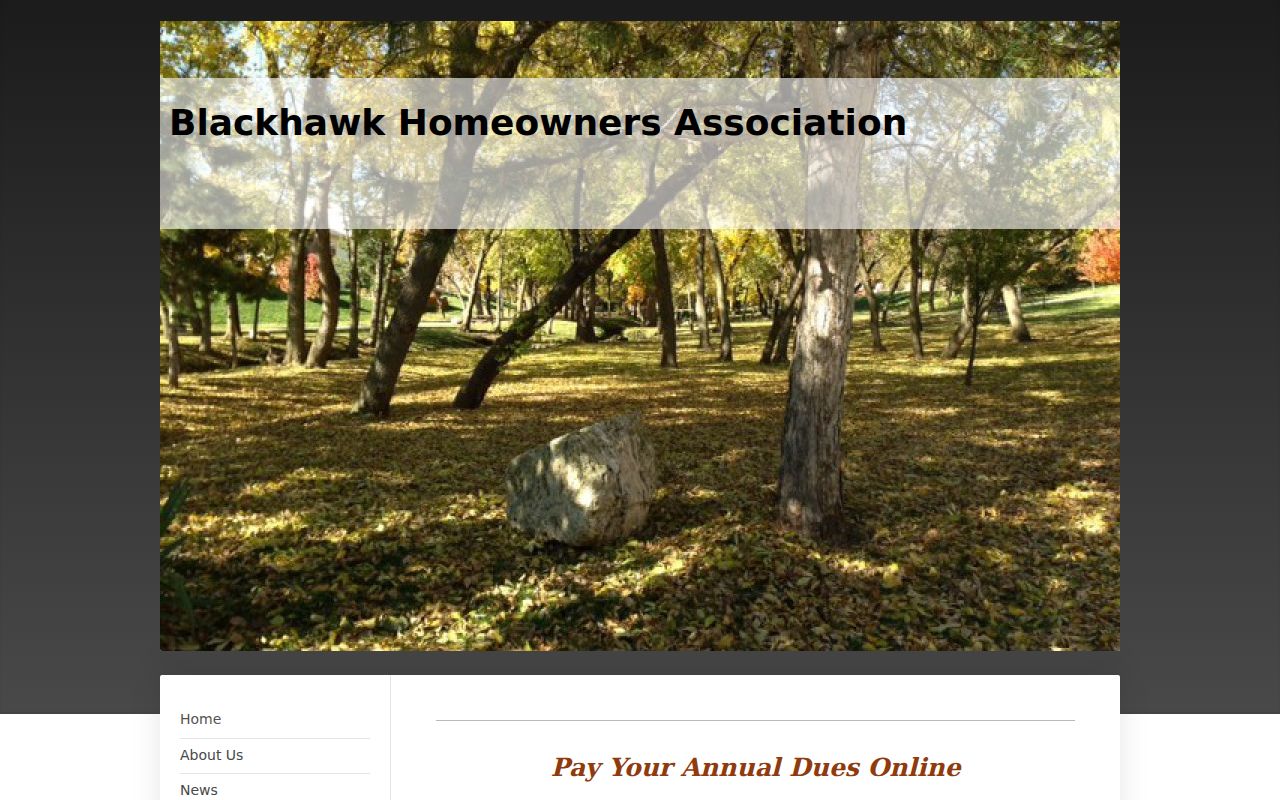
Association notices, dues, and contact channels describe a community organization. They do not establish a public list of households, and no private directory should be inferred from them.
Bellevue Neighbors: Private Details Stay Private
Parcel evidence can identify owners and postal addresses. It does not identify every occupant, child, guest, utility customer, delivery recipient, or protected participant connected with an address. Nebraska’s Address Confidentiality Program provides a substitute mailing address and mail forwarding for qualifying survivors. Voter entries marked confidential or private are withheld, and DMV address data has separate legal restrictions.
Official sources also make their limits easier to see. GIS exposes the layer and parcel fields. CAMA exposes its search modes and parcel card. The recorder distinguishes recorded documents from title conclusions. By contrast, commercial neighbor-lookup tools can mix property, voter-derived, directory, marketing, and third-party data with stale duplicates and unclear coverage.
| Official, transparent records | Commercial-category neighbor tools |
|---|---|
| Identify the custodian, search field, record type, and correction route for a Bellevue parcel or public record. | May combine varied sources and often do not make the underlying coverage or update path clear. |
| Separate an owner field, postal field, deed party, and civic contact so each can be checked in context. | Can merge identities or repeat outdated address associations, which need independent confirmation. |
| Support a bounded, lawful question about a block and preserve source details for correction. | Do not replace the Sarpy GIS, CAMA, Register of Deeds, city, library, or archive record trail. |
Lawful use. Bellevue neighbor research is appropriate for civic connection, local history, and a bounded property question. Do not use addresses or names to watch, harass, intimidate, or harm anyone.