
Bellevue Previous Residents by Era
A Bellevue address has two parallel histories. The property trail follows the parcel, legal description, plats, and recorded transfers. The household trail follows the people associated with that place in directories, census schedules, newspapers, and local archives. Start with the period you can document, then move one source at a time. A current owner is not automatically a past occupant, and a directory entry is an annual snapshot rather than a full household census.
For a recent question, the Sarpy parcel record and Register of Deeds supply the strongest opening. For an older Bellevue question, carry the legal description into the historical index and pair the resulting names with local reference collections. The table separates documented coverage from gaps that need a counter, archive, or another record type.
| Source | Years It Covers | Where Held | What It Shows |
|---|---|---|---|
| Sarpy CAMA property search | Current data; selector inspected for 2020–2026 | Sarpy County online portal | Owner, mailing and situs addresses, parcel, legal description, tax context, and recent deed references |
| Historical grantee/grantor index | 1857–1990 advertised | Sarpy Register of Deeds historical search and courthouse | Recorded-party chain; image availability has its own cutoff notice |
| Bellevue/Sarpy directories | 1963–1989; 1991–2007; 2009–current | Omaha Public Library Genealogy & Local History Room | Address and alphabetical household or business snapshots; 1990 and 2008 are not listed |
| Federal census | 1790–1950 public under the 72-year rule | Census, NARA, FamilySearch, and library databases | Household evidence in each census year, with address context where available |
| Bellevue Sanborn maps | 1885, 1894, 1902, 1914, 1928 | Library of Congress and reference collections | Building footprint, use, and street-grid context, not an occupant list |
| Bellevue permits | Live portal; historic start year not located | Permits & Inspections and city records request | Construction or alteration chronology tied to an address or legal lot/block |
When an older deed or address is missing online, that is a cue to shift channels, not to fill the gap with a guess. Sarpy makes deeper research available on public-access computers at the Register of Deeds, while the library and museum hold the household and community sources that do not appear in a parcel result.
Freeze Bellevue Property Records First
Write the present-day number, directional prefix, street suffix, ZIP, and city exactly as used now. Then search the Sarpy County Property Search in Property Address mode. Capture the parcel number, legal description, owner name, mailing address, tax year, recent deed reference, and map link. The CAMA form also searches by owner, parcel, or legal description, so the first result can be checked by a second field.
The property or situs address is the physical place attached to the parcel. A mailing address is where tax correspondence goes. They may match, but neither relationship proves that a named person occupied the address. Open the linked Sarpy GIS Land Records Search to confirm the building or lot, subdivision, lot/block, municipality, ZIP, and any visible replat before moving backward.
Note: Keep the parcel and legal description with every name, because postal labels, municipal boundaries, and tax districts can differ for the same Bellevue-area location.
Trace Bellevue Previous Residents Through Sarpy Deeds
Deeds build the ownership path for Bellevue previous residents. Search the current owner as a grantee in the Register of Deeds with a recent date range, then read the purchase instrument rather than relying on a search snippet. Record the recording date, instrument number, image or book/page reference, parties, legal description, and transfer language. The seller named as grantor becomes the next person or entity to search as grantee in an earlier period.
A transfer is not always a conventional sale. Trust, estate, corporate, trustee, correction, quitclaim, easement, and partial-interest records need a branch in the notes. Search entity names and individual signatories where the document supports it. If an address search stops working, move to the subdivision, lot/block, or PLSS land fields instead of assuming the parcel changed hands.
- Use CAMA to capture the current parcel, legal description, and a recent deed reference.
- Open the owner’s purchase instrument in the Register of Deeds index and copy the recorded party names and legal description.
- Search that instrument’s grantor as an earlier grantee, using name variants and dates that precede the transfer.
- Repeat the sequence, comparing the legal description at each step and noting a plat or replat when the description changes.
- Use courthouse public-access computers, deed books, plat books, or finding aids when the online record lacks an image or reaches a cutoff. A title professional is the formal paid fallback.
- Grantor
- The party conveying an interest in a recorded document. On a supported purchase transfer, this is the seller named in that record.
- Grantee
- The party receiving an interest. Searching a prior grantor as a grantee is the practical backward link in a deed trail.
- Chain of title
- The documented sequence of transfers affecting a parcel or interest. It can branch when records show trusts, estates, corrections, or partial interests.
- Legal description
- The lot, block, subdivision, or land description used in land records. It is often the steadier bridge when an old street number does not match.
Bellevue Previous Residents Before 1990
Sarpy’s historical Register of Deeds page advertises a grantee/grantor index from 1857 through 1990. That exact span is valuable for a Bellevue house history because it identifies a named party trail across more than a century. The same page displays separate Indexed Thru and Imaged Thru notices. When inspected, both displayed March 11, 2026, but the date is a status notice, not a promise that every older instrument image is online.
Current records have moved to the Tyler public-access system. Some functions require an account or login, and the research records a 2.49% card-processing surcharge. Use Tyler for current public access, then return to the historical index and the counter for the 1857–1990 trail. The Register of Deeds keeps the official records, and its staff identifies public-access computers as the in-depth fallback.
This cutoff also reflects Bellevue’s archival geography. Bellevue was Sarpy County’s seat until the courthouse moved to Papillion on January 1, 1876. An early Bellevue name can lead from the Papillion land-record counter to the Sarpy Museum or History Nebraska, rather than to a single all-purpose online database.
Note: The state archive’s deed subgroup does not replace the county’s surviving courthouse deed books and indexes for a land-record search.
Bellevue Address Records and Old Plats
A house number is a fragile key in older Bellevue research. Sarpy Plat Maps, the Register of Deeds, and GIS connect the address to a subdivision, lot, block, section, township, and range. The recorder’s historical search also offers subdivision, lot, block, lands, and address modes. A plat date or replat name can explain why the same ground acquires a different legal description after a split or new subdivision.
No official Bellevue street-renumbering schedule was located. The regional property guide warns that street names can change, especially after annexation. Treat an unsuccessful old-number search as an unresolved continuity problem. Compare an original Bellevue or early plat, the subdivision or replat, former spellings, nearby intersections, and newspaper notices. Bellevue also appears as “Belleview” in some historical references, which is a useful variant for archive and newspaper searching.
Note: Do not equate a Bellevue postal label with city limits, because the GIS and CAMA fields distinguish ZIP, municipality, tax district, school district, SID, and fire boundary.
Match Bellevue Past Residents to Census
Ownership is only one strand in a Bellevue past-resident search. Omaha Public Library’s Genealogy & Local History Room holds Bellevue/Sarpy County printed directories for 1963–1989, 1991–2007, and 2009–current. The collection is county-wide, so a volume can also include Papillion, La Vista, Springfield, Offutt Air Force Base, Capehart Village, and related places. The missing 1990 and 2008 volumes are real gaps, not evidence that a household vanished.
Use the reverse or street section where present to look for an address, then check the alphabetical section for the accompanying spelling, spouse notation, telephone, business, and occupancy symbols. Read the title page, abbreviation key, front matter, and any new-buildings pages. The historical holdings themselves are described in the Bellevue city directory collections; here, the useful task is aligning each address entry to the deed trail.
- Copy the directory year, street form, house number, and every printed symbol or abbreviation.
- Leapfrog in roughly five-year intervals, then fill the transition year when a name or address changes.
- Pair those snapshots with the public 1900, 1910, 1920, 1930, 1940, and 1950 federal census schedules.
- Compare the address context, surname, ages, spouse, occupation, and household members without treating either source as complete.
- Use a newspaper, probate file, marriage record, naturalization record, or cemetery entry to test whether a disappearance reflects a move, death, estate transfer, or name change.
Federal census records are publicly available through 1950 under the 72-year rule. They are dated household evidence, while a directory is an annual listing. The two sources strengthen each other when names and location agree, but a difference should be recorded rather than forced into a match.
Lawful use. Bellevue house-history research is suited to family history, estate questions, and local history. Do not use names or address details to follow, harass, or harm a living person.
Bellevue House Records on Sanborn Maps
The documented Bellevue Sanborn years are 1885, 1894, 1902, 1914, and 1928. They can show whether a structure stood on the mapped block, its footprint or use, and changes in the surrounding street grid. They do not identify a household, so pair a map with a deed, directory, census, or newspaper rather than treating it as a list of previous residents.
The Library of Congress guide to finding Sanborn maps shows the search route for digitized fire-insurance map material.
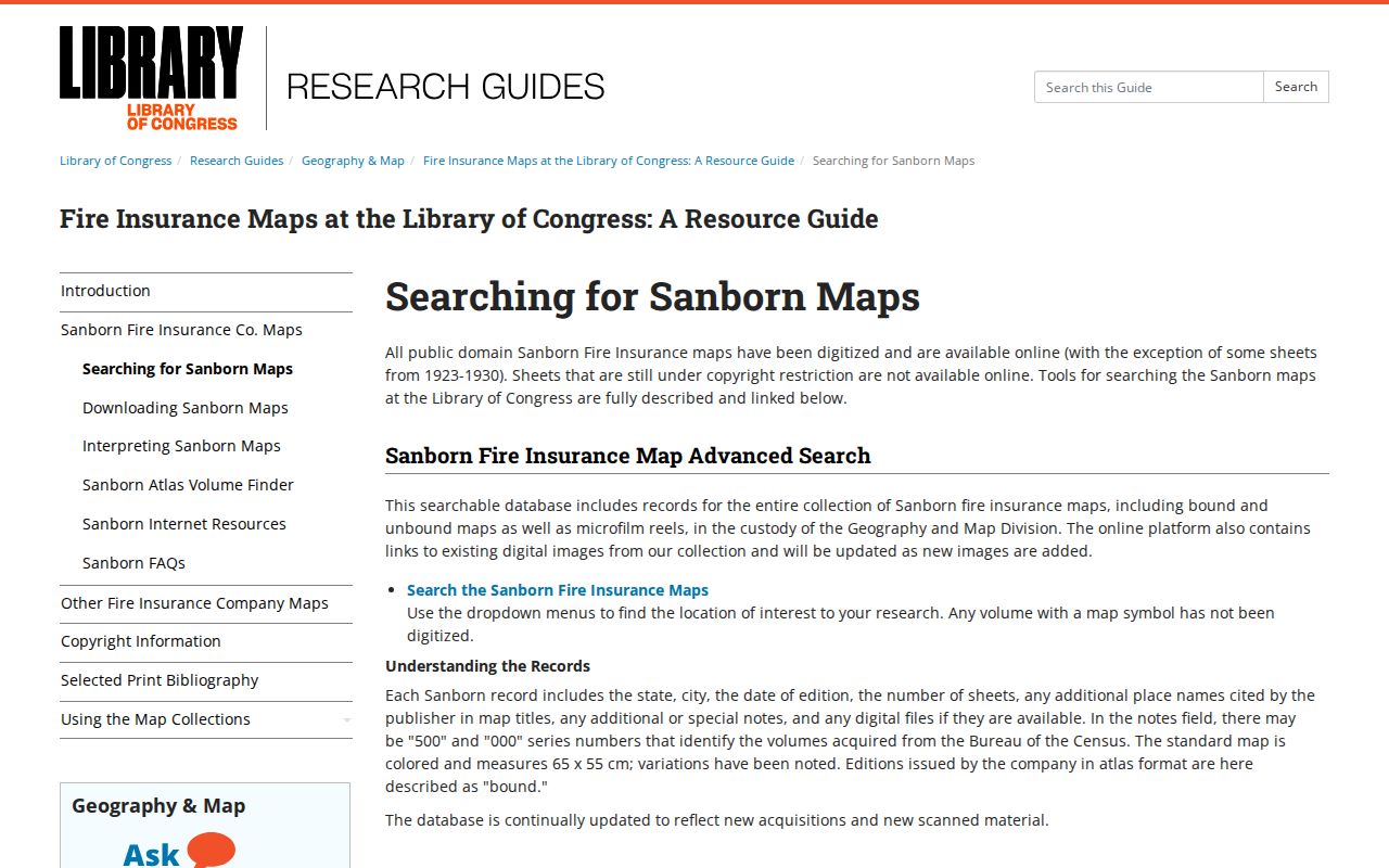
Confirm the sheet, volume, and mapped coverage before drawing a conclusion. A map can establish a building context for a Bellevue address, while the person trail still comes from the linked address and name records.
Bellevue Resident Trails End at Archives
When an address trail reaches a death, estate, or early family, the Sarpy County Historical Museum is the local archive anchor. Its research holdings include newspapers, district-court records, marriages, naturalization, cemeteries, churches, school material, yearbooks, and local-town documents. District-court material is reported for 1857–1971 at the museum, while the state finding aid reaches district court records through 1983. Access rules and redactions still apply.
Newspapers fill useful gaps: the museum lists the Nebraska Palladium for 1854–1855, Bellevue Press for 1945–1980, Bellevue Guide for 1970–1979, and Bellevue Leader for 1971–1993, among other county titles. Search an obituary or estate notice by publication and date. No single official Bellevue obituary database was located, so use museum newspapers, OPL resources, cemetery records, and a funeral home or newspaper to verify a finding.
The City of Bellevue history page documents Bellevue Cemetery’s first use in 1856 and its connection to the 1856 plat.
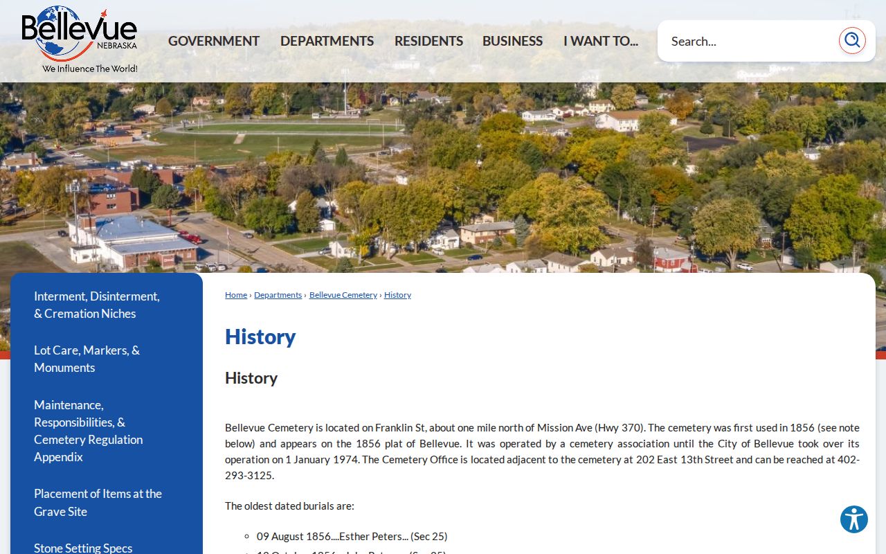
A cemetery entry is an endpoint and a relationship lead, not proof that every named person lived at one address. In a Bellevue house history, it works best beside a dated directory, deed, obituary, or probate record.
Bellevue Previous Residents and Address Changes
Keep a small evidence log for every Bellevue previous-residents question: the street form used, parcel ID, legal description, deed instrument, directory year, census year, and source location. This makes it clear when an address changed, a name changed, or a property was divided. It also stops a current mailing address, an owner name, and a household entry from being treated as the same fact.
For regional help, Omaha Public Library’s property guidance recommends combining deeds, tax records, directories, maps, and census material and then filling the gaps between years. Bellevue Public Library can provide research help, microfilm/archive service, NebraskAccess resources, and interlibrary loan. Sarpy Museum and History Nebraska add early land entries, maps, courthouse papers, and family material when the ordinary deed chain has reached its archival end.